Can Drones Use Ground Penetrating Radar? (Is it Possible?)

Drones are being used for plenty of purposes, including surveying and mapping. As you know, if you do surveying traditionally, it will consume so much time and also will spend so much money, but with the help of drones, you can get so much done without investing money or consuming time.
A GPR(Ground Penetrating Radar) can be mounted on the drone and help humankind do surveys and mapping easily.
This tool uses radar waves to penetrate the ground and produce a subsurface map. As drones are advanced every day, they have increased their payload capacity.
With the more payload capacity, drones can lift heavy gadgets, which are also used in many industries. After this discussion, a question comes to mind: can drones use ground penetrating radar?
Yes, drones can be equipped with ground-penetrating radar (GPR) systems to collect data for various applications. GPR is a non-invasive geophysical technique that uses radar waves to penetrate the soil and produce a subsurface profile or map.
As drone technology has increased, drones can lift the GPR and take it to the desired location for surveying. It would save time and effort as the GPR would not need to be manually carried to the area.
In addition, using drones would allow the GPR to access difficult or dangerous terrain that may be difficult for humans to reach.
It would also increase the accuracy and precision of the survey as the GPR would be able to get closer to the ground and survey a larger area in a shorter amount of time.
Overall, drones in GPR surveying can significantly improve the process’s efficiency and effectiveness. So in this article, we will discuss using GPR in drones and also will unlock some excellent benefits of it.
What is Ground Penetrating Radar, and What can it Do?
Ground penetrating radar (GPR) is a geophysical method that uses radar waves to penetrate the earth’s surface and detect subsurface objects or features.
It is commonly used in various fields, including archaeology, geology, civil engineering, and environmental science, to map and analyze the earth’s surface.
The GPR system consists of a radar antenna, a radio frequency (RF) transmitter, and a receiver.
The antenna is mounted on a vehicle or handheld device to transmit and receive radar waves. The RF transmitter generates radar waves transmitted through the antenna and into the ground.
As the waves travel through the subsurface, they encounter different materials and structures, such as rock, soil, water, or artificial objects.
These materials reflect the waves to an antenna, which are received by a receiver and analyzed by a computer.
GPR can detect subsurface features, including buried utilities, underground tanks and pipelines, geological structures, and artifacts.
It can also determine the depth and thickness of different subsurface materials, such as soil layers, rock formations, and water tables.
One of the critical benefits of GPR is its non-invasive nature. Unlike other geophysical methods that require drilling or excavation to access the subsurface, GPR can gather data without disturbing the earth’s surface.

It makes it an ideal tool for mapping and analyzing sensitive or fragile sites, such as archaeological sites or environmentally sensitive areas.
Several different types of GPR systems are available, including high-frequency systems, which are used for shallow depths and acceptable resolution, and low-frequency systems, which are used for more profound depths and coarser resolution.
The system choice depends on the specific application and the depth and resolution required.
Some Limitations of GPR
GPR has some limitations, including that it cannot penetrate certain materials, such as metal or concrete. It is also affected by weather conditions, as rain and snow can interfere with the transmission and reception of radar waves.
Additionally, GPR can be affected by variations in the subsurface, such as changes in soil moisture or vegetation, which can affect the accuracy of the data.
Despite these limitations, GPR is a powerful and widely used tool for mapping and analyzing the earth’s subsurface.
It is an essential tool for many fields, including archaeology, geology, civil engineering, and environmental science, and has the potential to provide valuable insights into the subsurface of the earth.

What does the Ground Penetrating Radar see Through a Drone?
Ground penetrating radar (GPR) uses electromagnetic waves to penetrate the soil and create a detailed image of what lies beneath the surface.
When mounted on a drone, GPR can scan the earth from above, allowing it to see through various types of material, including soil, concrete, and asphalt.
Some typical applications of GPR on drones include mapping underground utilities, detecting buried objects or structures, and identifying geological features such as underground caves or sinkholes.
It can also assess the condition of infrastructures, such as bridges or roads, by identifying cracks or other damage beneath the surface.
READ MORE: Can drones see through walls?
Overall, GPR allows drones to see through the ground and provide detailed images and data on what lies beneath the surface. There are also some other things that it can detect that are below:
Is it Really Possible that Drones can Use Ground Penetrating Radars?
As you know, LIDAR technology is ubiquitous these days but also costly. Mounting the GPR with the drone will be just like a LIDAR. Surveying with a single drone could help more than a LIDAR aircraft.
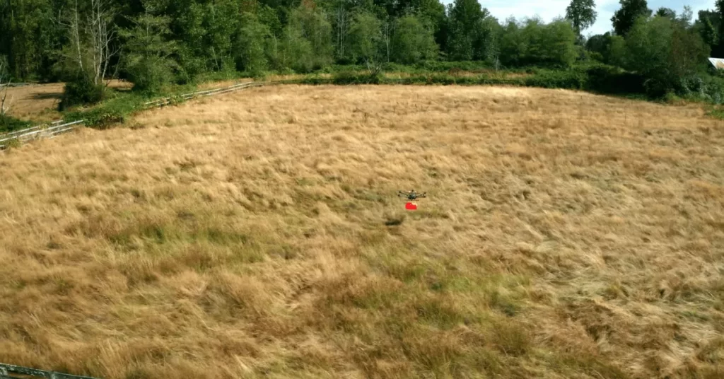
Yes, drones can use ground penetrating radars. This technology can be mounted on a drone, allowing the drone to scan and map subsurface features while in flight. There are several benefits to using drones equipped with GPR technology.
First, drones can access hard-to-reach or dangerous areas that may be difficult for humans. Second, drones can cover large areas quickly and efficiently, making them a helpful tool for mapping and surveying.
Finally, drones can operate autonomously, allowing for a more efficient and cost-effective process.

Overall, drones can use GPR technology and be useful for mapping and surveying subsurface features.
However, there are also limitations to consider, and it is essential to carefully evaluate the usefulness and feasibility of using drones with GPR technology in any given situation.
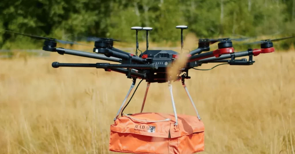
As you know, the GPR gadget has no less weight and keeping it lifted is not an easy job, but the DJI company has found a solution to this problem and made some multirotor drones that can keep raising the GPR for a longer time.
In traditional surveying, a specific person holds the GPR in his hands and penetrates the waves in the soil.
But that kind of hold creates some error in the accuracy, and the GPR didn’t provide good surveying, but as you know, the drones fly, and because of their stability, the data could be gotten in more accurate condition than the human help.
So drones can use the GPR on them and are helping humanity to map places where it is impossible without the aircraft(well, technically, drones are also aircraft).

Can Local Ground-Based Drones Use the Ground Penetrating Radar?
It is possible to use a GPR on a ground-based drone. It doesn’t matter whether the drone has propellers or not. Because as you know, many vehicles are made in this world that has made the world very fast.
Almost 75% of people reach their offices at the time, which has tremendously changed the world.
Just like that, if we set a GPR on a ground-based drone, it is possible to use it, but it will need more effort than the airborne drone.
You might have seen an article about robotic vacuum cleaners and lawnmowers on my site. All these gadgets use the same technology.

With that idea, we can attach GPR to the ground-based drones, but the only thing we will need is the GPS.
There are also some limitations. As airborne drones can fly, it will be tough to take ground-based drones in places that are not reachable.
So it can help people to do a survey, but there are better ideas than this because you will need many batteries and charging.
Meanwhile, the drone could return when the ground-based drone gets its battery charged after the job.
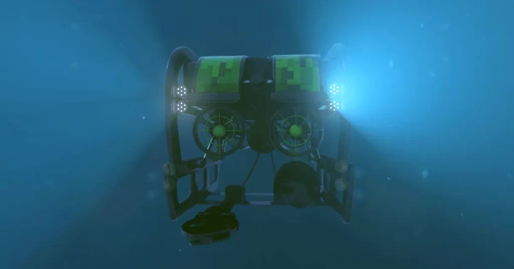
Can Underwater Drones use Ground-Penetrating Radar?
Underwater drones can use ground-penetrating radar (GPR) to scan the underwater landscape and detect objects or features buried or hidden beneath the surface.
GPR emits electromagnetic waves that bounce off underground things and reflect on the radar antenna.
The antenna interprets the reflections and creates a detailed map of the underwater terrain, including any buried objects or structures.
This technology can be helpful in various applications, including searching for underwater mines, studying geology, and mapping aquatic habitats.
READ MORE: How to waterproof your drone?
As you know, there is a vast difference between flying and swimming; just like that, it is a difference between using underwater drones and airborne drones.
With flying drones, you need no wires or stuff like getting connected with the drone that could limit the drone from flying far.
Underwater drones face connectivity challenges, making it impossible to receive data while submerged.
Still, the underwater drones use the wires to remain associated with the controller. But these days, it is possible to use underwater drones without cables.
Drones with GPR reveal submerged civilizations, groups, and objects in the sea. These drones can also be used to inspect electricity cables and pipelines.
What are the Disadvantages of Ground Penetrating Radar with the Drone?

What Challenges and Opportunities with Drone Mounted GRP can be?
Utilizing GPR with drones presents challenges and opportunities, and I’ll share essential insights. They are down below:
Challenges

Opportunities

What Accessories are Used in GPR on a Drone?
As you know, many accessories are used in gadgets and appliances to help the system work efficiently. So just like that, here are some essential accessories needed in GPR on a Drone.
GPR Antenna:
The GPR system’s main component emits and receives electromagnetic waves, penetrating and reflecting off the ground. The antenna is usually mounted on the drone’s payload bay.

GPS Receiver:
A GPS receiver is used to accurately locate the drone’s position while flying. This information is used to create a map of the area being surveyed by the GPR.
Radio Link:
A radio link transmits GPR antenna data to the ground station for analysis.
Data Storage:
The GPR data collected by the antenna is typically stored on a hard drive or other data storage device.
Data Processing Software:
Collected data requires specialized software for processing, creating maps or images of subsurface features.
Power Supply:
The GPR system and drone require a power source, typically provided by batteries or a generator.

Payload Bay:
The GPR antenna and equipment attach to the drone’s payload bay beneath its main body.
Flight Controller:
The flight controller controls the drone’s flight and ensures it stays stable and within its programmed flight path.
Remote Control:
A remote control is used to operate the drone and remotely control its movement and flight.
Charging Station:
The drone’s batteries or power supply must be charged after each flight, typically using a charging station.
Important FAQs
GPR works on drones by emitting electromagnetic waves from a transmitter and receiving the reflections using a receiver antenna. The data is then processed to create a subsurface image.
GPR on drones faces limitations due to equipment weight, size, electronics interference, and operational constraints.
Final Thoughts
In conclusion, drones can use ground penetrating radar to gather data on the earth’s subsurface.
This technology has many practical applications, including mapping underground utilities, locating buried objects, and detecting potential archaeological sites.
Drones with ground-penetrating radar efficiently cover vast areas, benefiting diverse industries. Adherence to laws is crucial for ethical use. These drones revolutionize subsurface data gathering, promising long-term value.
So I hope you have got the answer to your question: Can drones use ground penetrating radar? If you have any further queries related to this question, let me know in the comments.
We want to hear from you! If you have any thoughts or opinions on the topic we discussed, please share them in the comment box below.
Your input is valuable to us and helps shape the conversation. Plus, by commenting and engaging with others in the community, you can spread essential ideas and start meaningful discussions. So please don’t be shy. Leave a comment and let us know what you think!
Can Drones See Through Walls?
“Wondering if drones can see through walls? Find out the truth about this fascinating tech in our latest article. Dive in now!”


